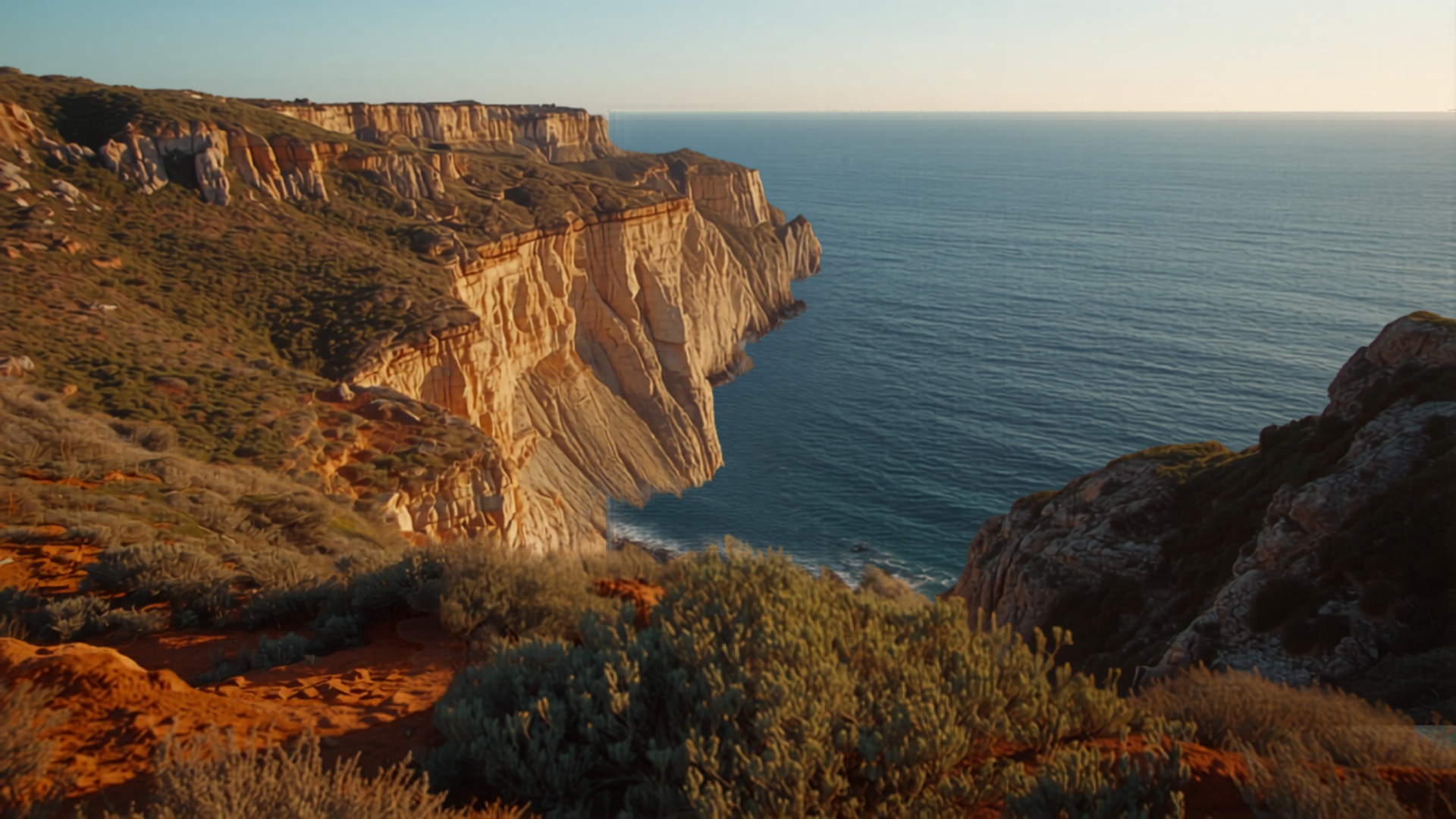
Current Conditions — Vila do Bispo
Live data from Open-Meteo API · Coordinates: 37.12°N, 8.88°W · Auto-refresh every 2 minutes
--
Temperature
--
Humidity
--
Wind Speed
--
UV Index
--
Precipitation
--
Wind Direction
7-Day Forecast
Loading...
Loading data from Open-Meteo API...
Vegetation Health — Sentinel-2
NDVI (Normalized Difference Vegetation Index) from Copernicus Sentinel-2 satellite imagery
0.00
NDVI Index
What does this mean?
The NDVI measures vegetation density and health using near-infrared reflectance. Values range from -1.0 (water/bare) to 1.0 (dense vegetation). Our property shows seasonal variation typical of Mediterranean ecosystems — highest NDVI in spring (0.5–0.7), lowest in late summer drought (0.2–0.3).
Current reading represents the latest available Sentinel-2 overpass for our coordinates.
Bare (<0.1)
Sparse (0.1–0.3)
Moderate (0.3–0.5)
Dense (0.5–0.7)
V. Dense (>0.7)
Climate Change — Vila do Bispo
Historical ERA5 Reanalysis (1975–2025) + CMIP6 Projections (2025–2050) · Open-Meteo Climate API
📉 Annual Precipitation
Vila do Bispo · Yearly total rainfall in mm · 2005–2025
🌡️ Temperature Anomaly
Warming Stripes · Deviation from 1975–2000 baseline · 2005–2025
Historical: Open-Meteo ERA5 · Projections: CMIP6 (MRI-AGCM3, EC-Earth3P-HR, CMCC-CM2-VHR4) · CC BY 4.0
Connected Data Sources
All data sources are open access (CC BY 4.0 or equivalent). No API keys required.
Copernicus Sentinel-2
NDVI & Land Cover Imagery · 10m resolution
Open-Meteo API
Live Weather & ERA5 Reanalysis 1940–present
Open-Meteo Climate API
CMIP6 Projections 1950–2050
OpenStreetMap
Base Maps & Geospatial Data
IPMA Portugal
Historical Climate Records since 1855
GBIF Biodiversity
Species Occurrence Records · 2.4B+ records
SNIRH Water Resources
Groundwater & Hydrological Data
EU Drought Observatory
Soil Moisture & Drought Index (EDO)
EFFIS / ICNF
Fire Risk Assessment & History
USGS Earthquake
Seismic Activity Monitor · Real-time
NASA POWER
Solar Radiation & Energy Potential
Copernicus Soil Moisture
Global SSM & SWDI · Daily